|
At the heart of Central Asia, Uzbekistan is situated between the two big rivers, Amu Darya and Syr Darya. It borders on Kazakhstan to the northwest and north, on Kyrgyzstan - to the northwest, on Tajikistan - to the east and southeast, on Turkmenistan - to the southwest, and on Afghanistan - to the south. The territory of Uzbekistan is 448,900 sq. km. It stretches 930 km from north to south, and 1,425 km from west to east. The total length of its borders is 6,221 km. The border regions are: the Usturt Plateau and western shore of the Aral Sea to the north, Termez district of Surkhandarya province to the south, Ferghana Valley to the east, and Usturt Plateau to the west. The territory of the country stretches from southeast to northwest.
Uzbekistan's natural world is very diverse. It is composed of desert areas and snowy mountains, rivers and completely dry lands. The most part of its territory lies in the Turon plain, where there are no sudden steep-drops and hills. The Turon plate and mainland, which later became the Tian Shan and Pamir - Alai Mountains, were formed in the Paleolithic period. Later, the sea covered the plate for a long time. The mountain chains are thought to have fully developed during the Alps orogenesis.
The mountain ranges blocked the humidity from the Indian Ocean. It caused considerable climatic change: the weather became dry and huge desert areas appeared. As rivers and winds kept changing their directions, the upper layer of soil was continuously displaced from one place to another. It led to the formation of the Kyzyl Kum and Kara Kum deserts.
|
|
Mountains and foothills make up about one-fifth of the territory of Uzbekistan. The highest point is 4,643 meters. Mountains cover the east of the country. Uzbekistan embraces western parts of the Tian Shan and Pamir-Alai mountain ranges, respectively. The mountain ranges are very different: there is a sharp contrast of heights, foothills, canyons, and watersheds. There are also small mountains such as Aktau, Karakchitau, and the western part of the Zarafshon mountain range with their smooth shape. Rather big depressions stretch between the mountains: Kashkadarya, Surkhandarya, Zarafshon, and Samarkand . The largest depression is the Ferghana Valley - 370 km long and 190 km wide. It is surrounded by mountain ranges on three sides except on the western face. On the border with Afghanistan, there is the huge Amu Darya depression.
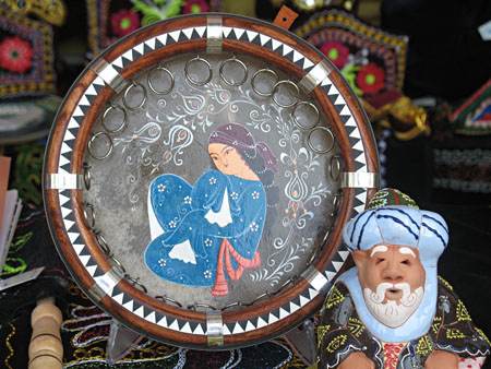
Silk Road Travel - Travel information bout counties of the ancient Silk road
2 3 4 5 6 |